It was a trip we've made several times over the years, but not recently...at least, not during the dry season. This trip is the one across Mt. Emily, one of the three familiar named mountains above the Grande Ronde Valley. Mt. Emily is the second tallest at 6109 feet in elevation. So...we start at 2785 feet in town, drive north to south across the Mt. Emily range of the Blue Mountains and down the south side into La Grande, where the elevation is 2785 feet. In between is Indian Rock, probably the most appealing location of the trip, at 5650 feet.
The drive starts on state highway 204 with a turnoff near the summit; this is the first view of the Grande Ronde Valley from the mountains. That is Mt. Harris in the back center; it's on the east side of the valley.
Once you get out of the forested north side of Emily, it's a matter of looking down, a lot!
Another view of Mt. Harris and part of the valley over the forested flanks of Mt. Emily.
This is one of two amazing dead trees ; I've photographed them in winter when they are so impressive.
Behind the trees is Indian Rock, a geological formation that I really don't understand! It looks like lava to me!
Across the valley and beyond are the beautiful Eagle Caps of the Wallowa Mountains.
This is one of those times when the feeling is really that you are at the top of the world. At the top of Mt. Emily, at least, although this point is about 450 feet lower than the top.
This is part of the geological landscape at Indian Rock.
This is where my stomach gets just a bit quivery!
My husband puts some perspective in the overlook at Indian Rock.
This time of year, the fireweed is blooming everywhere.
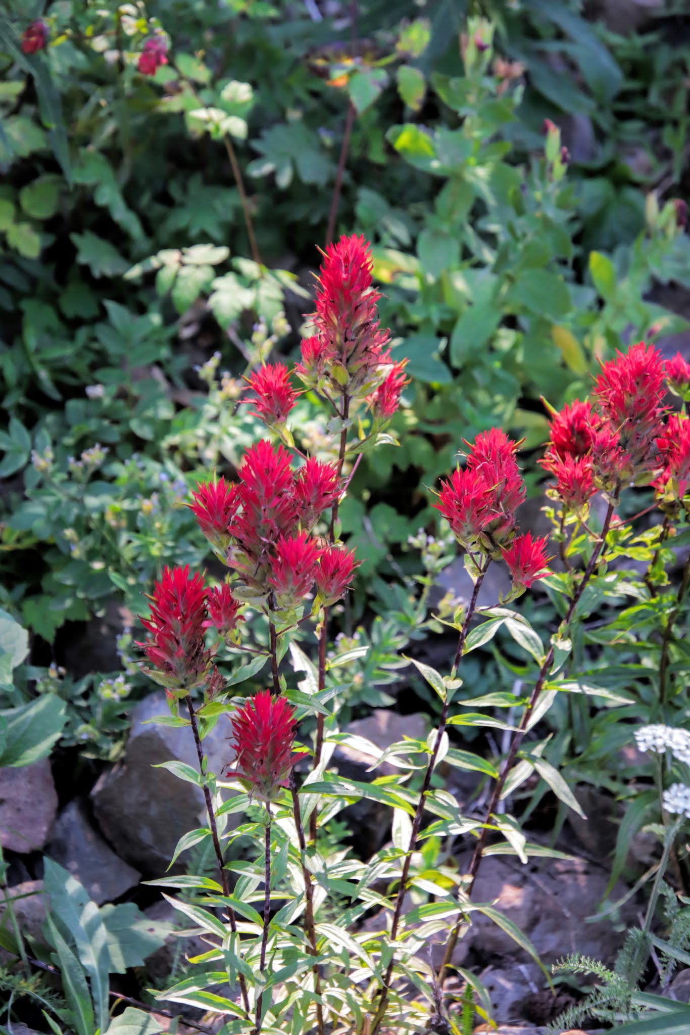
I'm still surprised at how much Indian Paintbrush is still blooming. I always thought it was an early summer flower.
Those little purple "asters" are thick in the shade of these trees.
The trip down to the valley floor is much steeper than the one going up! This is called Fox Hill, and I really don't like it. (There is another road farther west that opens onto I84 at a higher elevation.)
This is the section of Fox Hill that makes me nervous. I-84 is at the base of that dry hill, and La Grande is to the east (left in the photo).


1 comment:
Wonderful sights! Thanks! Indian Rock appears to be the same type of igneous flow one can see throughout Central and Eastern Oregon--- or running out into the ocean along so much of the Oregon coast. The difference between Oregon and Washington is basalt and lava flows--- High desert in Oregon, rolling hills and low farmland in Washington. Obviously all that is a gross generalization. Thanks again-- I loved these.
Post a Comment